Flypix
App Details
Website
Description
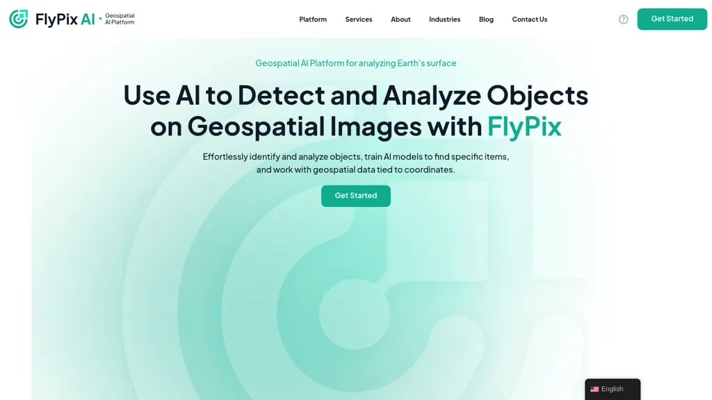
Flypix offers AI-enabled geospatial solutions designed for analyzing the Earth's surface through advanced object detection and analysis of geospatial images. Users can leverage Flypix’s capabilities to seamlessly identify and analyze various objects tied to specific coordinates, making it suitable for industries such as construction, agriculture, and renewable energy. The platform includes an interactive sandbox experience, allowing users to train custom AI models without requiring programming knowledge. By reducing manual annotation time from 997 seconds to just 3 seconds, Flypix enhances efficiency in complex scene analysis.
Technical Details
Use Cases
✔️ Analyze agricultural crop health by using Flypix to detect plant stress and yield predictions, enhancing farm management decisions with real-time geospatial data analysis.., ✔️ Utilize Flypix for construction site monitoring, allowing project managers to identify materials and equipment placements accurately, streamlining resource allocation and improving project timelines.., ✔️ Employ Flypix in the renewable energy sector to monitor wind turbine placement and efficiency by analyzing geospatial images, facilitating better site selection and operational performance assessments..
Key Features
✔️ AI-enabled geospatial solutions., ✔️ Advanced object detection., ✔️ Custom AI model training., ✔️ Access to analytical dashboards., ✔️ Multispectral data handling.
Links
Review
Write a ReviewThere are no reviews yet.
Leave a Review


-
 $$$$
$$$$ -
 $$$$
$$$$