Satlas
App Details
Description
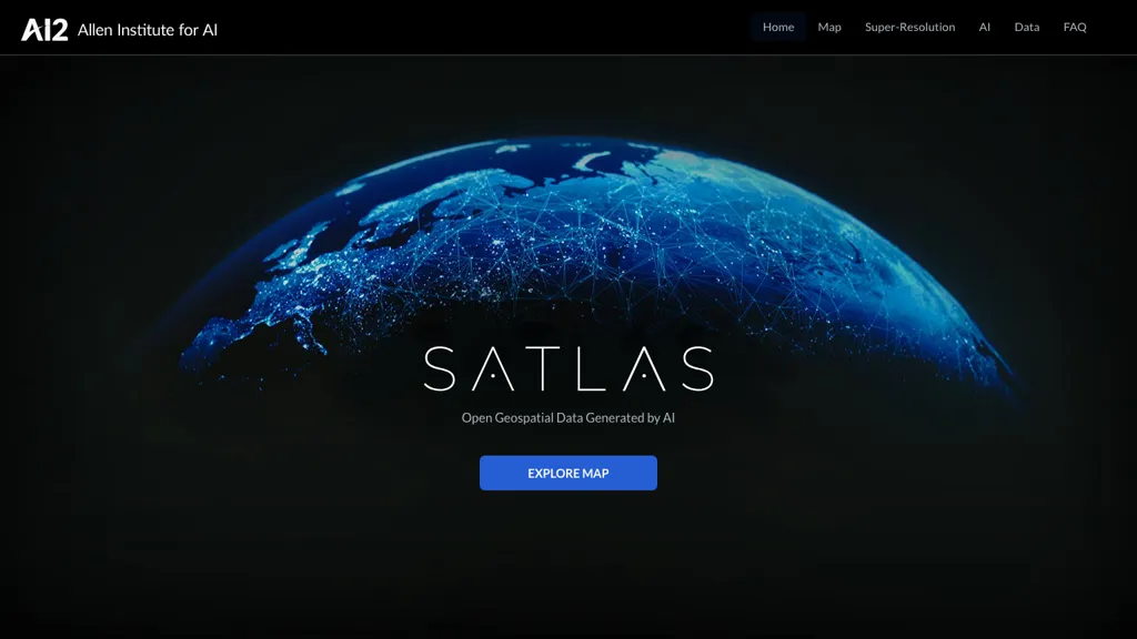
SATLAS is an AI tool developed by the Allen Institute that enables users to explore and analyze geospatial data with super-resolution imagery.The tool uses state-of-the-art computer vision algorithms and architectures to enhance low resolution satellite imagery, producing high resolution images at a global scale. With SATLAS, users can discover AI models that are trained on large-scale remote sensing datasets, including satellite imagery and labels from the Satlaspretrain dataset.The tool also provides access to AI-generated geospatial datasets that are freely publicly available for download and offline analysis. The SATLAS team seeks to advance computer vision and create AI systems that can see, explore, learn, and reason in the world.
Technical Details
Review
Write a ReviewThere are no reviews yet.
Leave a Review
-
 $$$$
$$$$ -
 $$$$
$$$$